Maryhill Loops Road
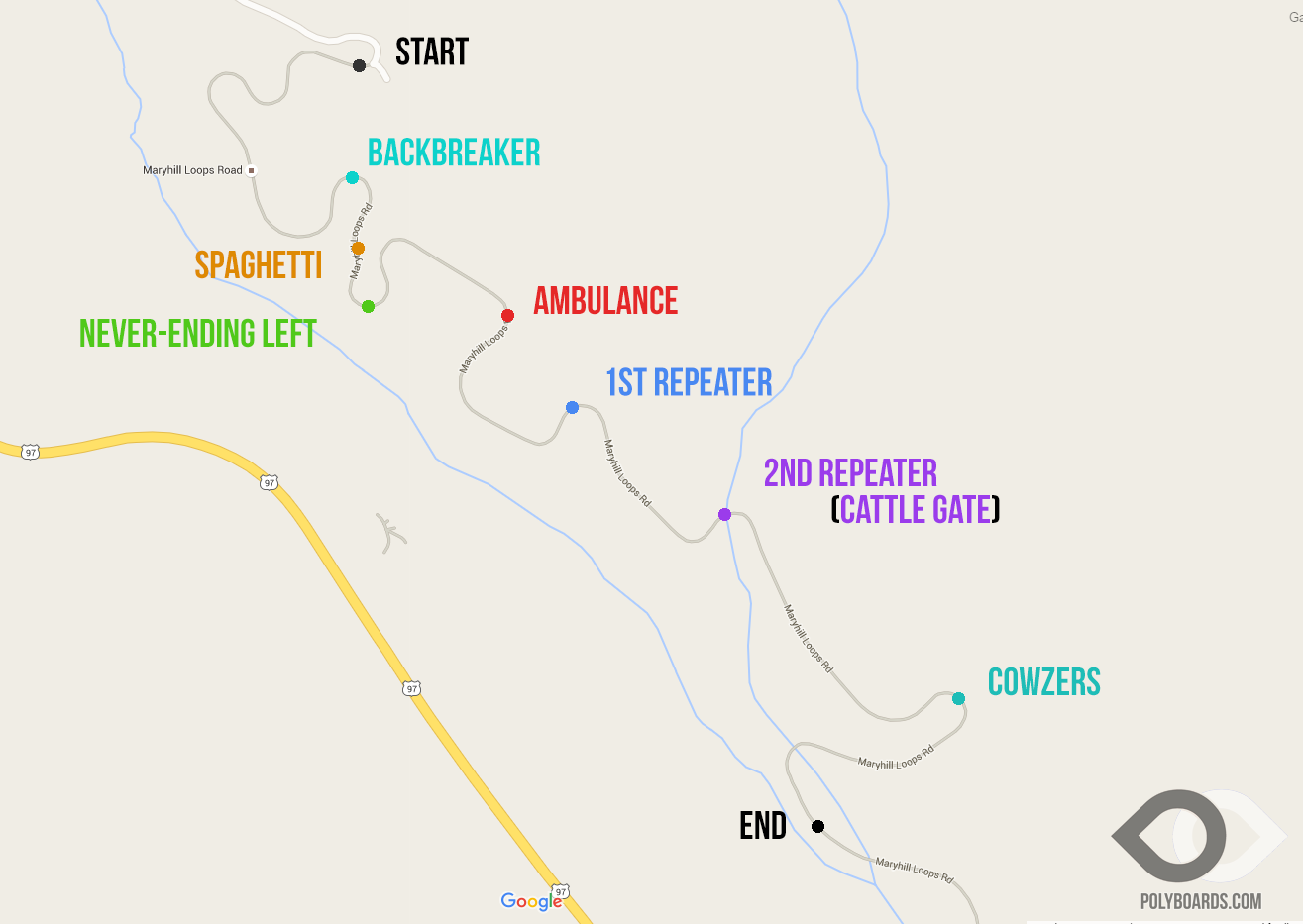
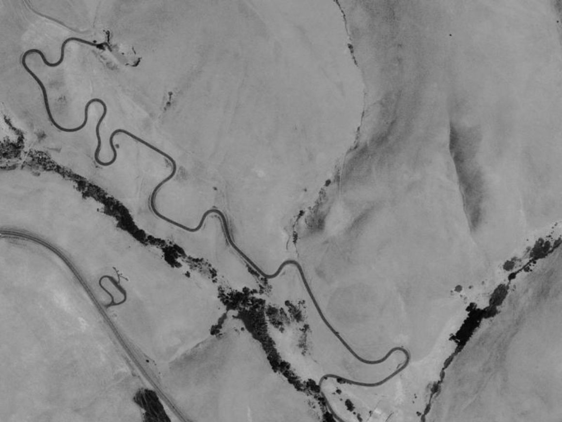
Early in the twentieth century, Sam Hill was trying to bring the Pacific Northwest into the future. He designed Maryhill Loops Road, the first paved road in the state of Washington. The road has almost a consistent five degree grade, with banked turns to make the hairpins navigable. The race course starts where the current pavement begins, and traverses the first 1.8 miles and almost 20 turns! There are so many turns, they needed names, to avoid getting lost on the road.

The best viewing spots are at Cowzers, the highest speed and tightest corner. Or the final turn just before the finish line. Not only is the final turn almost a 180 degree hairpin, it is also the last chance to make a move before the finish.
Thanks to Polyboards for the map. Polyboards has a great article on the Maryhill Freerides.


